At TopoBur, we use powerful computer-aided design (CAD) software, 3D modelling and geographic information systems (GIS) to produce the digital mapping necessary to properly manage the environmental aspects of all your projects.
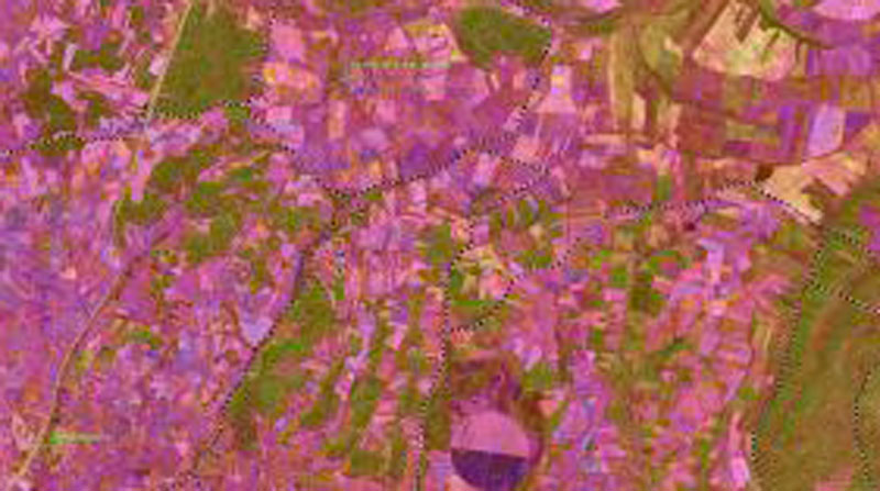
GIS are designed to integrate, store, analyse, share and display any type of geographically referenced information, thus allowing users to create interactive queries, analyse spatial information, edit data, compare different scenarios, produce maps and present the results of all these operations.
Some of the most commonly used applications are the creation of thematic cartography, land analysis, environmental impact assessment, digital modelling of terrain and river basins, landscape studies, network analysis, environmental inventories and many more.
The services we provide can be summarised in the following actions.
Design and creation of GIS, CAD and spatial database files. Creation of thematic environmental, analytical and synthetic cartography. On-site production of maps of current vegetation at any scale and extent of the territory. Digital terrain elevation models. Computer graphics, 3D simulation and virtual flight. Conversion and exchange of formats, transformation of projections and georeferencing of files. Reports, statistics and detailed analysis of cartographic data. Face-to-face training tailored to the client’s needs.